
ongoingiOS2026
UmiLog
Explore, plan, dive, relive — on an area-first map
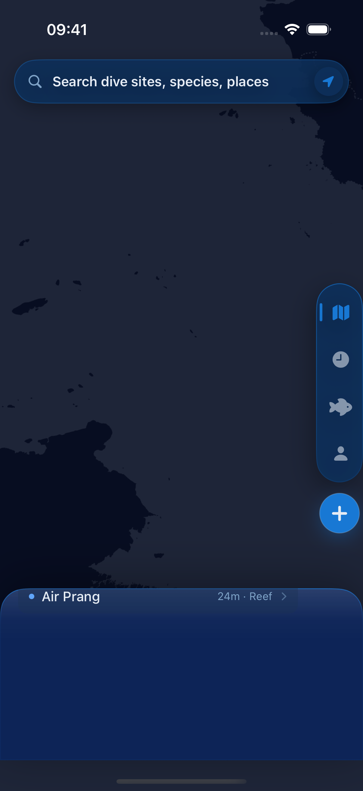
An image-first iOS dive log (海ログ). You browse regions, then areas, then sites on a vector MapLibre map that works offline. Log a dive in four steps, record what you saw, and scroll the timeline afterwards. GRDB holds everything on device. Current work is the third data-excellence round: auditing site packets, grading species evidence, and clearing the journey test burndown.
Highlights
- ▸4,597 dive sites ship in the seed database and load without a network
- ▸Vector basemap with a runtime theme override, so the map matches the app
- ▸Four-step logging wizard that saves species sightings in one transaction
- ▸Site data is built from Wikidata plus a curated crosswalk, then quality-audited
Stack
SwiftSwiftUIGRDBMapLibreXcodeGen