
UmiLog
Explore, plan, log, and relive dives on one map
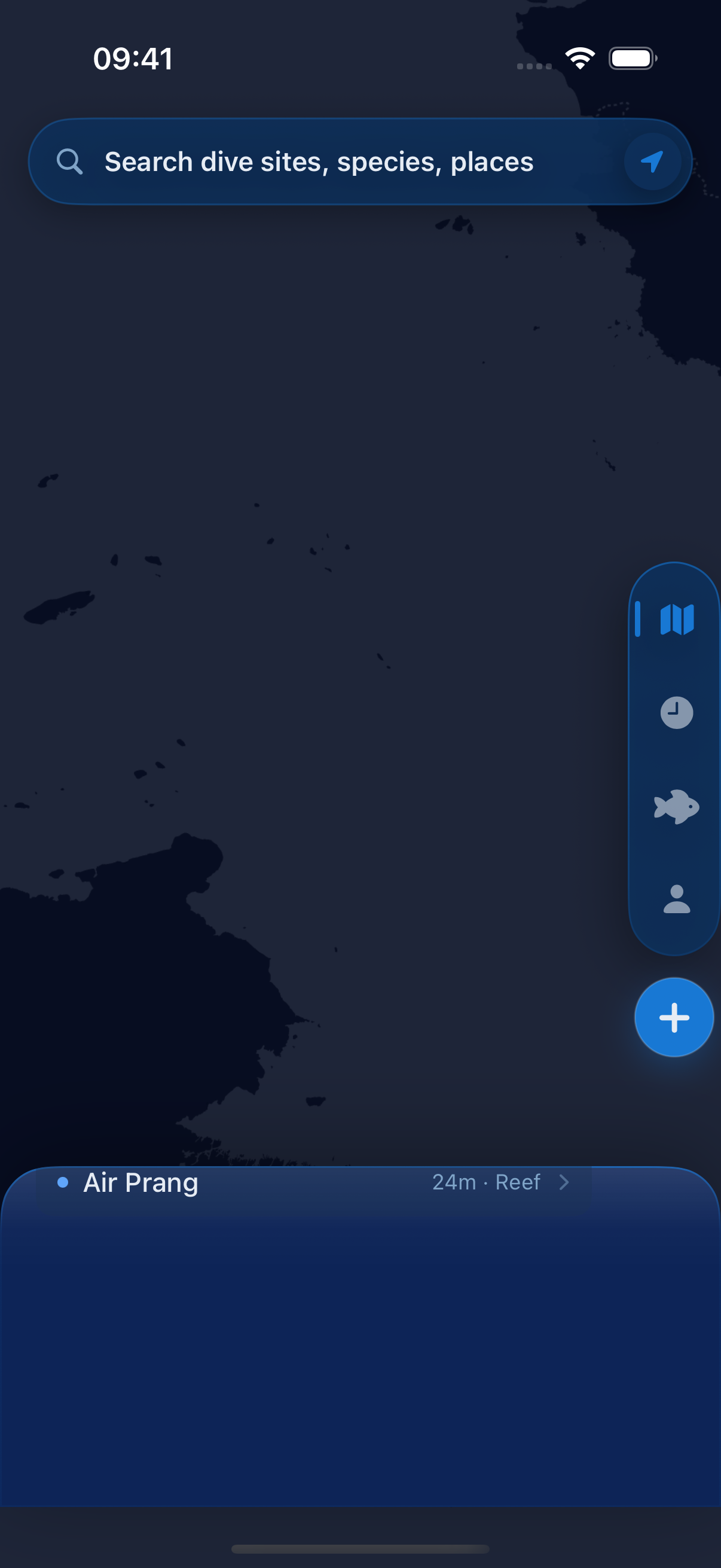
ongoingiOS2026
Platform
iOS (SwiftUI, GRDB, MapLibre).
What it does
A dive log where the place and the dive live together: a map of dive sites, a record of the wildlife there, and a personal log. It all works with no signal.
Highlights
- ▸The map zooms from ocean to region to area to site, and works offline. Sites are linked to their parents, neighbors, and other names, not dropped as loose pins.
- ▸Each site shows which names, coordinates, and wildlife records have evidence behind them, which are still uncertain, and which duplicate names are not merged yet.
- ▸A dive and the species seen on it are saved together, then show up later on that site's timeline.
Architecture
Local-first. GRDB holds the site graph and the log on the phone. MapLibre vector tiles with a runtime theme. The starting data is Wikidata plus a hand-curated crosswalk, audited rather than trusted. I am now grading the evidence behind each site and wildlife record so the data stays honest as it grows.
Stack
SwiftSwiftUIGRDBMapLibreXcodeGen